USEFUL APPS FOR DOWNLOAD 

Bonita Francis
 December 04, 2018
Comments (0)
Management Programs


SHEEP CONDITION SCORING


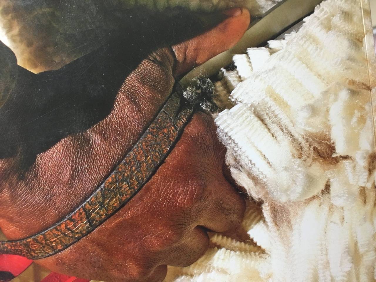
The body condition score of a sheep is an indicator of its nutritional status, and the average condition score of 25-30 animals is a good estimate of the average condition score of a mob. This app allows you to record sheep condition scores on your iPhone or iPad and automatically calculates the flock-average condition score.  An Android version of this app is being developed but it is not yet available.


Download here.


AGRIPLOT
AGRIplot allows you to plot any area on a map. Simply walk around your property and add a landmark point, or drag and drop pins anywhere on the map. AGRIplot will automatically calculate the area enclosed by the points and provide the distances between each point. Interest points allow you to identify additional features for your plot. You can even take pictures associated with each landmark or interest point for a visual representation. Share your plot with the option to email a PDF or KML version of the plot information. Now supports importing KML files. Compatibility: Requires iOS 5.1.1 or later. Compatible with iPhone, iPad, and iPod touch.  Download here.

DROUGHT FEED CALCULATOR

An Australian-first Drought Feed Calculator smart phone app has been designed to enable farmers to develop a drought feed strategy for sheep and cattle.  Farmers in any location can easily and quickly determine the minimum feed requirement for a range of animals with different nutritional needs.  The app helps farmers to:
*              Save time and money
*              Develop a well informed drought feeding plan
*              Understand energy requirements for stock


Download here.

GROUND COVER 

Ground Cover is a Free App which allows you to accurately assess the ground cover of your paddock and even send that information by email to a database. Compatibility: Requires iOS 5.2 or later. Compatible with iPhone, iPad, and iPod touch.  


Download here

agriplot 

AGRIplot allows you to plot any area on a map. Simply walk around your property and add a landmark point, or drag and drop pins anywhere on the map. AGRIplot will automatically calculate the area enclosed by the points and provide the distances between each point. Interest points allow you to identify additional features for your plot. You can even take pictures associated with each landmark or interest point for a visual representation. Share your plot with the option to email a PDF or KML version of the plot information. Now supports importing KML files. Compatibility: Requires iOS 5.1.1 or later. Compatible with iPhone, iPad, and iPod touch.  


Download here

Leave a comment

Keep me updated?

Comments are moderated.
Be the first person to comment.

Quick Navigation

Month:
Author:
Category:

Bonita Francis

Latest Blogs

Sheep shearing instruction manual  DOWN REGULATION OF OJD  WAAROM MOET EK IN-ENT? Praktiese bestuursvoorstelle en wenke vir lamgeboortes LAMSORG EN VOEDING:  VAN GEBOORTE TOT SPEENTYD  BLUETONGUE CONTROL WITHOUT VACCINE  Industry guidelines for farm procedures  TWEE TREE VORENTOE, EEN TREE TERUG  FOOT AND MOUTH DISEASE VIDEOS  KOMMUNALE BOERE KAN GROOT VONK WEES 
national-wool-growers-association-of-south-africa-communal-and-commercial

Follow Us


Head Office

+27 (0) 41 365 5030
+27 (0) 41 365 5035
nwga@nwga.co.za

OK / Close
Who doesn't like cookies?
This website uses cookies to ensure you get the best experience. Read more...